
OUR COMPANY
Rogers Surveying, PLLC, based in Staten Island, NY, is a fourth-generation land surveying and engineering firm proudly serving the region since 1946. With a legacy built on precision, reliability, and innovation, we have supported a wide range of projects in architecture, construction, marine engineering, and boundary surveying for nearly eight decades.
We welcome the opportunity to showcase our facilities, exceptional qualifications, technical capabilities, and unwavering commitment to the success of your project.
At the heart of Rogers Surveying is our “True Crew of Surveyors” — a team of eight highly experienced project managers, each bringing over 30 years of hands-on expertise in land and hydrographic surveying.
Our diverse and credentialed team brings a depth of knowledge and foresight that allows us to successfully complete even the most complex and challenging survey assignments.
OUR SERVICES
-
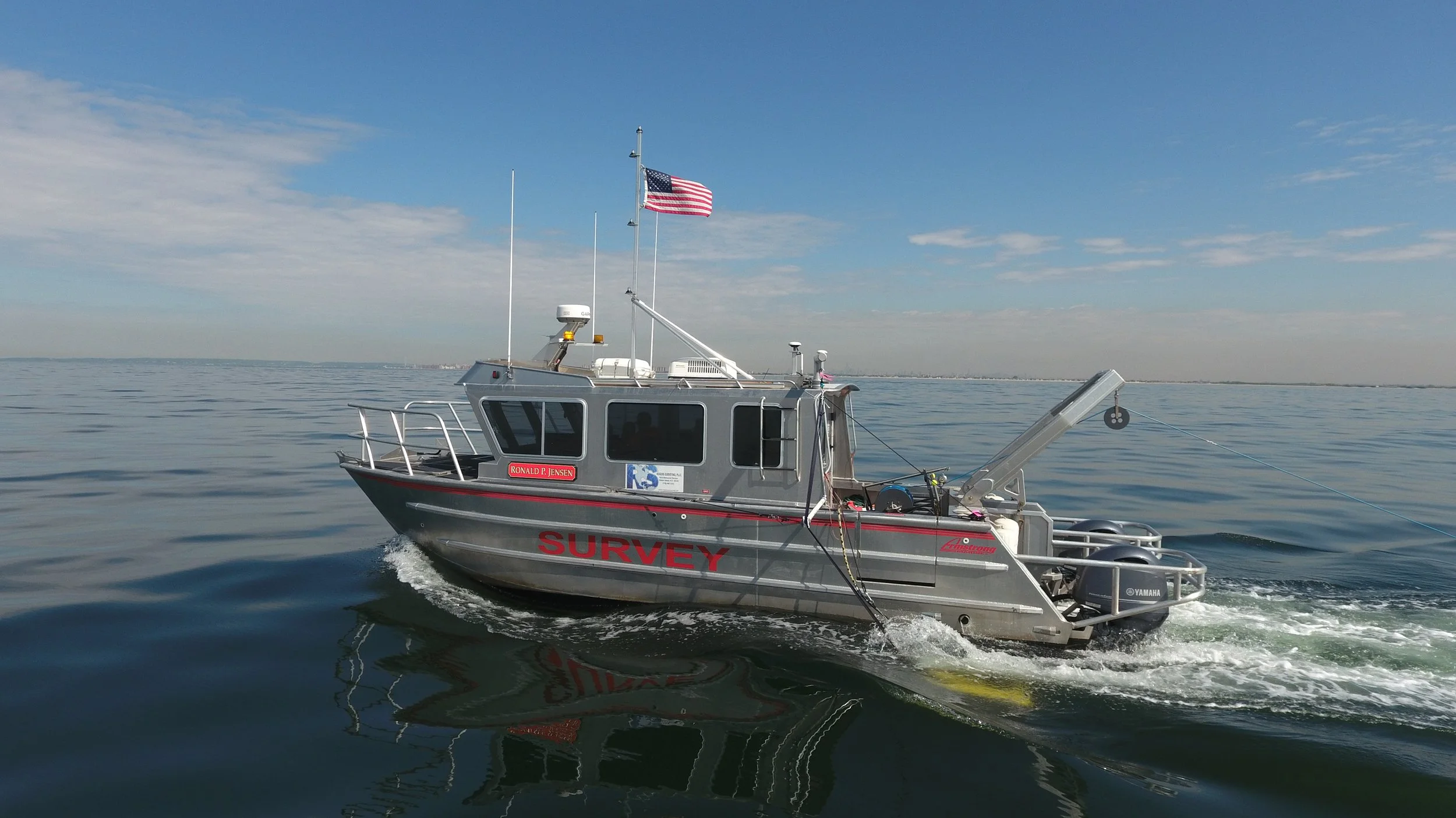
Rogers Surveying performs hydrographic surveys along the entire East Coast and our New York City location keeps our response time along the East Coast to a minimum. Our fleet of survey vessels range from small trailerable vessels to large near-coastal survey vessels.
Hydrographic Services Include:
Multibeam and Singlebeam Surveys
Sidescan Surveys
Sub-bottom Profile Surveys
Magnetometer Surveys
Complete Geophysical Surveys
Marine Construction and Dredging
Wreck Investigation

-
Rogers Surveying has been providing timely and quality aerial photogrammetric services since 1995. Our experience in aerial photogrammetric mapping ranges from flood studies to highways and entire communities. Clients include land and hydrographic surveyors, civil engineers, land planners, as well as local, state and federal agencies. Using state-of-the-art analytical stereo plotters interfaced to workstations; digital mapping files are collected and organized during the stereo compilation process. The entire compilation environment is 100 percent digital. The photogrammetric production environment is designed to render the highest accuracy supporting the project schedule and budgetary guidelines. In almost all cases the clients requirements are intentionally exceeded.
Aerial Surveying Services Include:
Large and Small Scale Sites
Ortho Rectified Imagery
Photogrammetric Mapping Augmented with Conventional Survey
Site Development
G.I.S.
Cross Sections and Profile
-
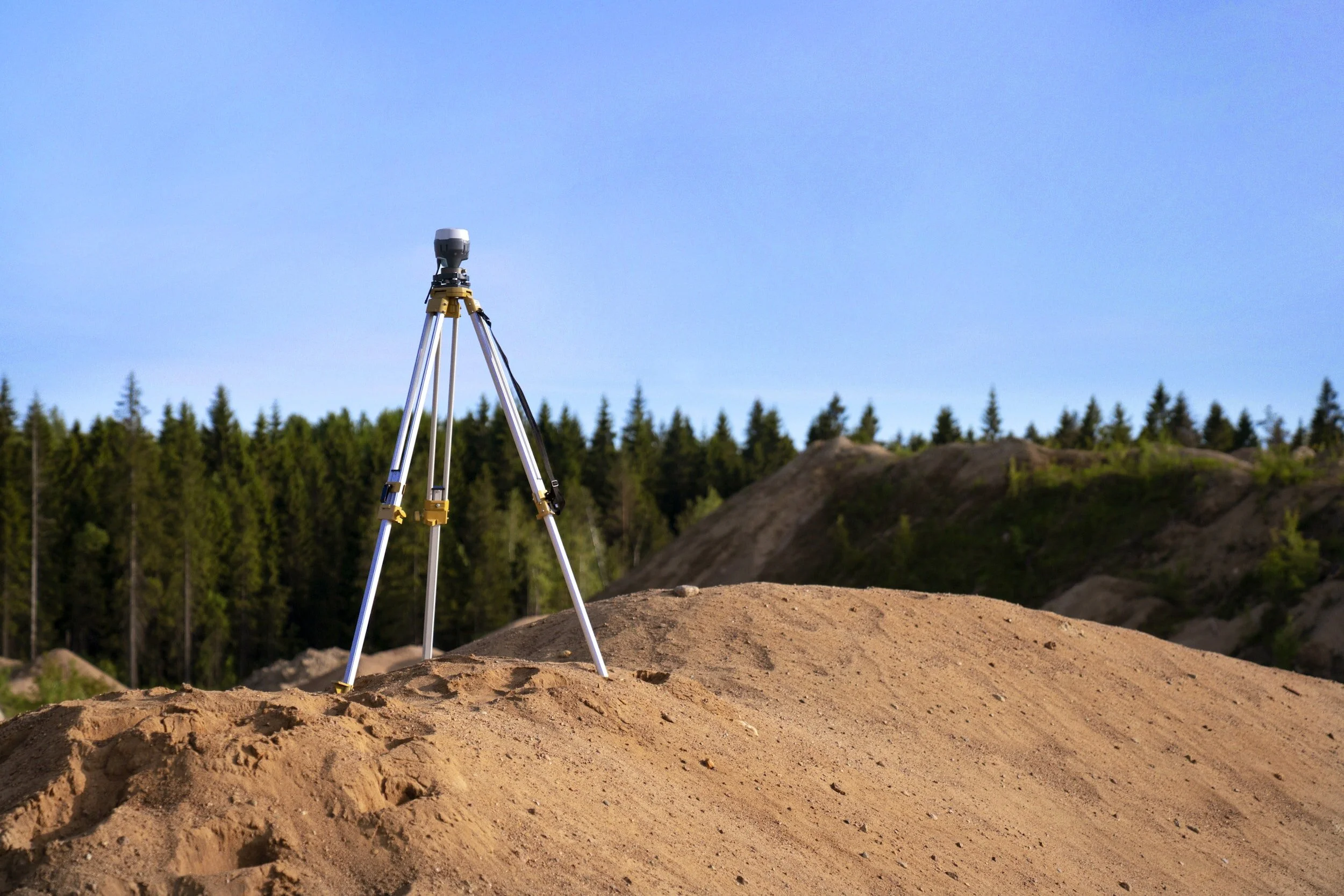
Rogers Surveying performs land surveys along the entire East coast. Our New York City location keeps our response time along the East coast to a minimum. Our survey vehicles are fully equipped with all the tools required to get the survey complete on time and within budget.
Land Survey Services Include:
Boundary
Topographic
Construction
Building Information Modeling (B.I.M.)
LIDAR Surveys
Wetland Mitigation Surveys
Accident Surveys

-
Rogers Surveying has been performing construction surveys since the inception of the company. The New York metropolitan area has been developing for hundreds of years. Just about any type of development requires land surveyors. Land surveyors are usually the first in and last out. Rogers provides construction and emergency surveying services for local construction companies, architectural and engineering firms, environmental firms and local utility companies including “On Call” services for most utility companies and almost all federal, state and city agencies in the metro area.
Construction Surveying Services Include:
Pile Layout
Foundation Layout
Boring Locations and Layout
Storm and Sanitary Stakeouts
Anchor Bolt & Steel Erection Surveys
Monitoring Surveys
-
Many years ago, Rogers Surveying made the commitment to use the latest technologies available in the surveying industry. Early on, we were one of the first firms in the area to use electronic total stations, then RTK GPS, Ground-Based LIDAR and now we will be using LIDAR mounted on remotely operated drones.
Remote sensing, combined with our experience in conventional surveying and ground-based data acquisition, allows us to collect the greatest amount of data possible during initial survey tasks. This collected data will be used for project scope mapping and removes the need for subsequent mapping as the project progresses and the needs changes. Using mapping and registration software Leica© Cyclone and Trimble RealWorks, in conjunction with our conventional surveying and mapping software and equipment, we are capable of providing large scale mapping in a short period of time. Data reduction, point cloud and final products are provided in a variety of formats for use by designers, engineers and architects.
LIDAR Survey Services Include:
B.I.M. Surveys
Topographic Surveys
Accident Surveys
-
Rogers Surveying roots and a good portion of our current workload are based on Boundary Line Surveys for Title Conveyances. Our company records date back to early 1920’s. Our reference library contains maps dated back to 1820. Practical experience coupled with a superior research library, (40,000 plus Cadastral & Boundary survey maps), form a strong foundation and defense for the licensed land surveyor engaged in the illusive task of retracement resurvey work.
Boundary Survey Services Include:
Boundary Line Surveys for Title Conveyance
Parcel Mapping
Property Sub-Divisions
Permanent /Temporary Construction Easements
Deed Research & Legal Description